
The Dragon’s Tail! A Continent or a Ghost? January 24, 2014
Author: Beach Combing | in : Medieval, Modern , trackback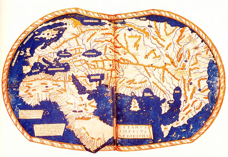
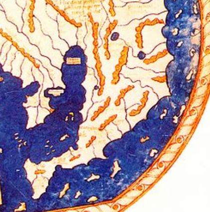
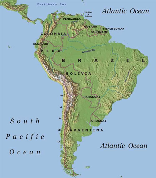
La cola del dragón (the Tail of the Dragon), was a book published in 1990 by Paul Gallez (obit 2007), a Belgian/Argentinean historian. In this book Gallez alleged that a map by Martellus (obit 1496), dating to 1489 showed South America. If you are trying to understand why this should matter read the last sentence again: 1489 = three years before Columbus sailed across the ocean blue. Martellus was a German cartographer based in Florence and certainly there is an interesting and completely inexplicable peninsula (or to carry on with Gallez’s terminology ‘dragon’s tail’) stretching down across the Pacific (see image above). Where does it come from? Gallez was convinced that the Tail was South America. He was particularly excited by the resemblance between the knot at the bottom of the tail and the Tierra del Fuego, that is, it must be said to be notable if not striking. Look now at a map of South America and the Tail. Is it possible that the Tail is, indeed, part of the Americas that somehow got tacked onto Asia?
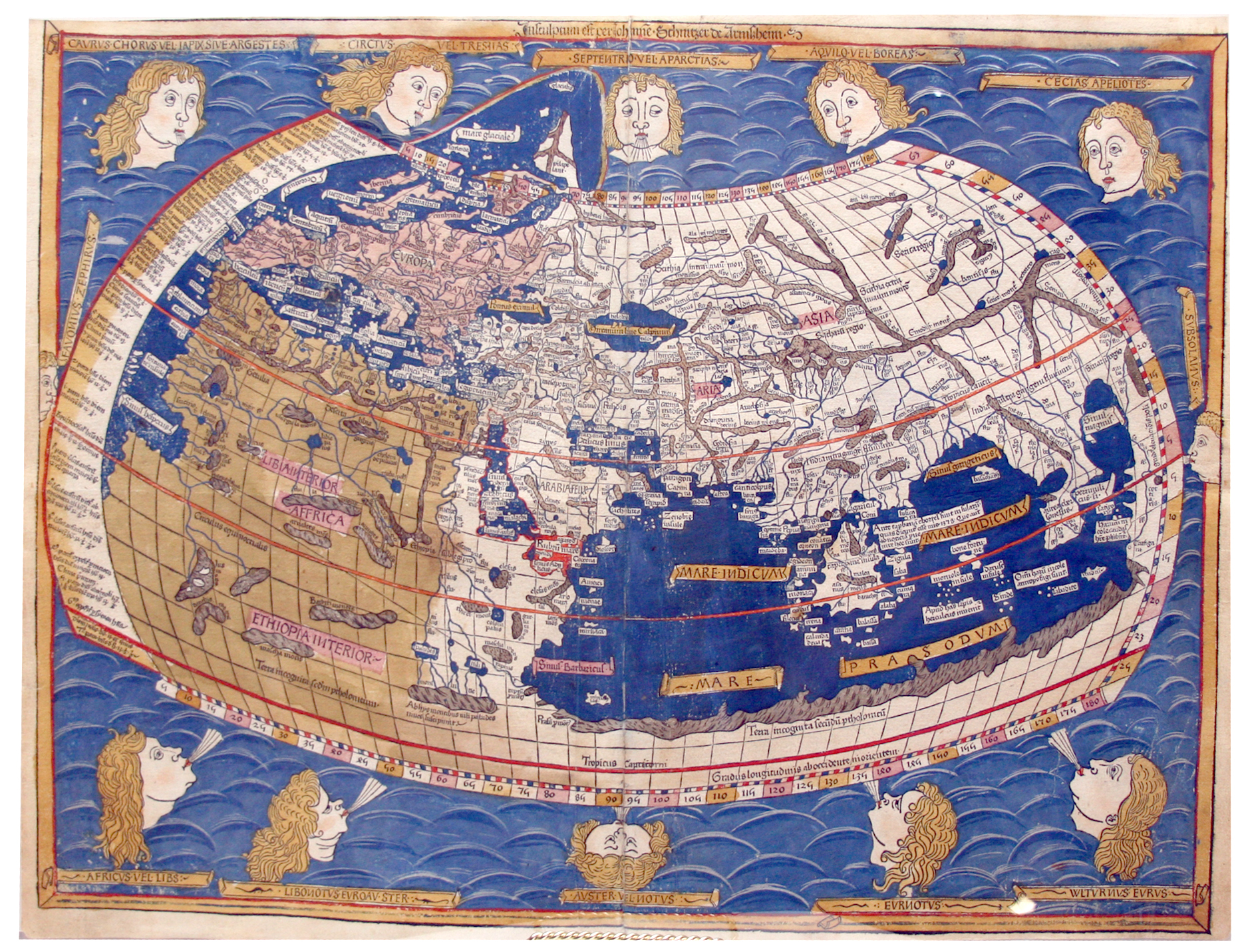
The general consensus among geographers has been no, particularly since a far more ingenious explanation for the Tail’s presence on Marcellus’ map has been suggested and one that does a lot less violence to our textbooks. The venerable ancient geographer Ptolemy and consequently many of his successors in antiquity and the Renaissance believed that there was no Cape of Good Hope. Africa stretched down to the extreme south and then bent round to reach Asia. We have no ancient map that shows this because we have no ancient maps, though we have texts that clearly state it. But there are several late medieval instances not least the fifteenth century ‘Ptolemy’ map below. By the end of the fifteenth century Ptolemy’s belief in a conjoined Asia and Africa was falling away, and the death blow came in 1488 when the Portuguese reached the Cape of Good Hope. It is not impossible that Martellus came to learn of this Portuguese discovery. In any case, he clearly rejected the conjoined continent theory in his map: but he seems to have retained the arm of Asia coming down that had, in the Ptolemaic model, bent west towards Africa. A partial proof of this is that the placenames associated with The Dragon’s Tail are mostly from Marco Polo. The Dragon’s Tail, then, is nothing more than a cartographic ghost. It would be eaten up by knowledge in the first years of the sixteenth century. Memories of Great Java.
Any other ghosts of maps past: drbeachcombing AT yahoo DOT com

